
Bluegraph – Explore NOAA buoy data, rebuilt in 3D from measured spectra
What happened
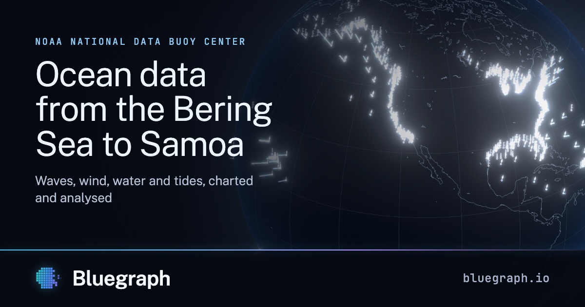
Waves, wind, water and tides from NOAA's network of buoys, coastal stations, tide gauges and estuaries, from the Bering Sea to Samoa, charted and analysed.
Summary assembled by rule from the sources below